Fuengirola · A walking guide from NAVEN

Los Boliches
promenade walks

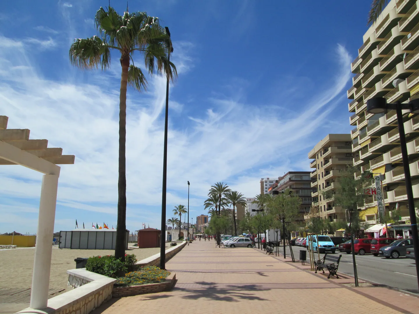
Walk down to Los Boliches beach for breakfast by the water. Facing the sea, turn left for Carvajal and a seafood lunch, or right for the marina, tapas in the old town and the hill up to Sohail Castle.

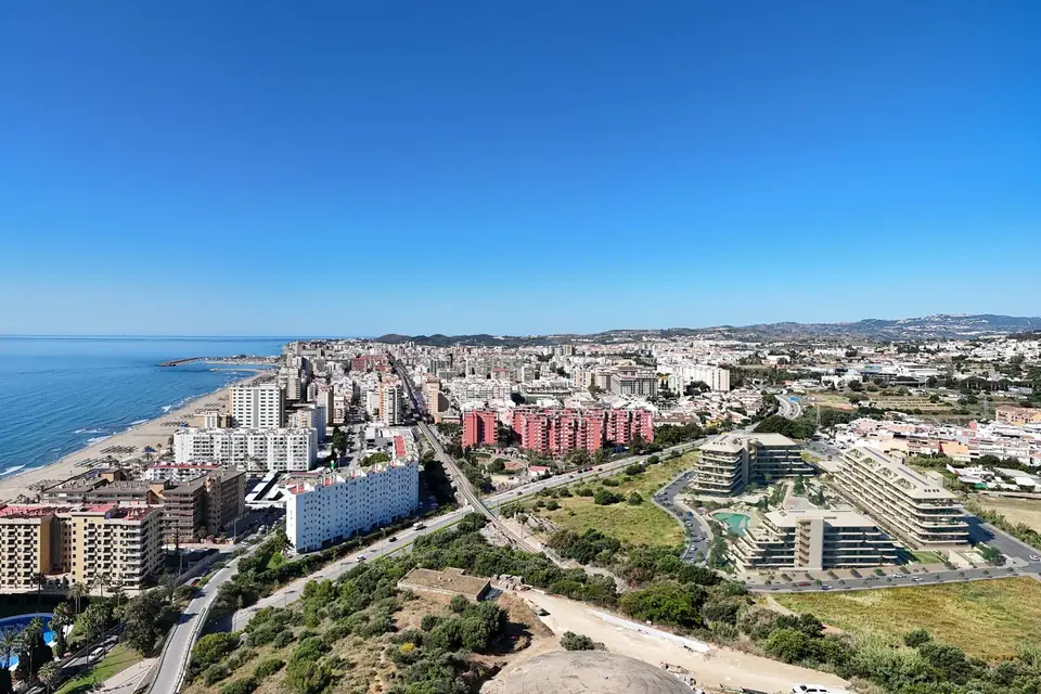
Wide sandy Los Boliches beach, the Fuengirola seafront and mountains beyond.
Los Boliches Beach · Fuengirola

On foot from NAVEN

The promenade on the map

Find NAVEN, then follow the dotted route to the beach. Choose a stretch of coast or tap a stop to see its photo and a local tip.

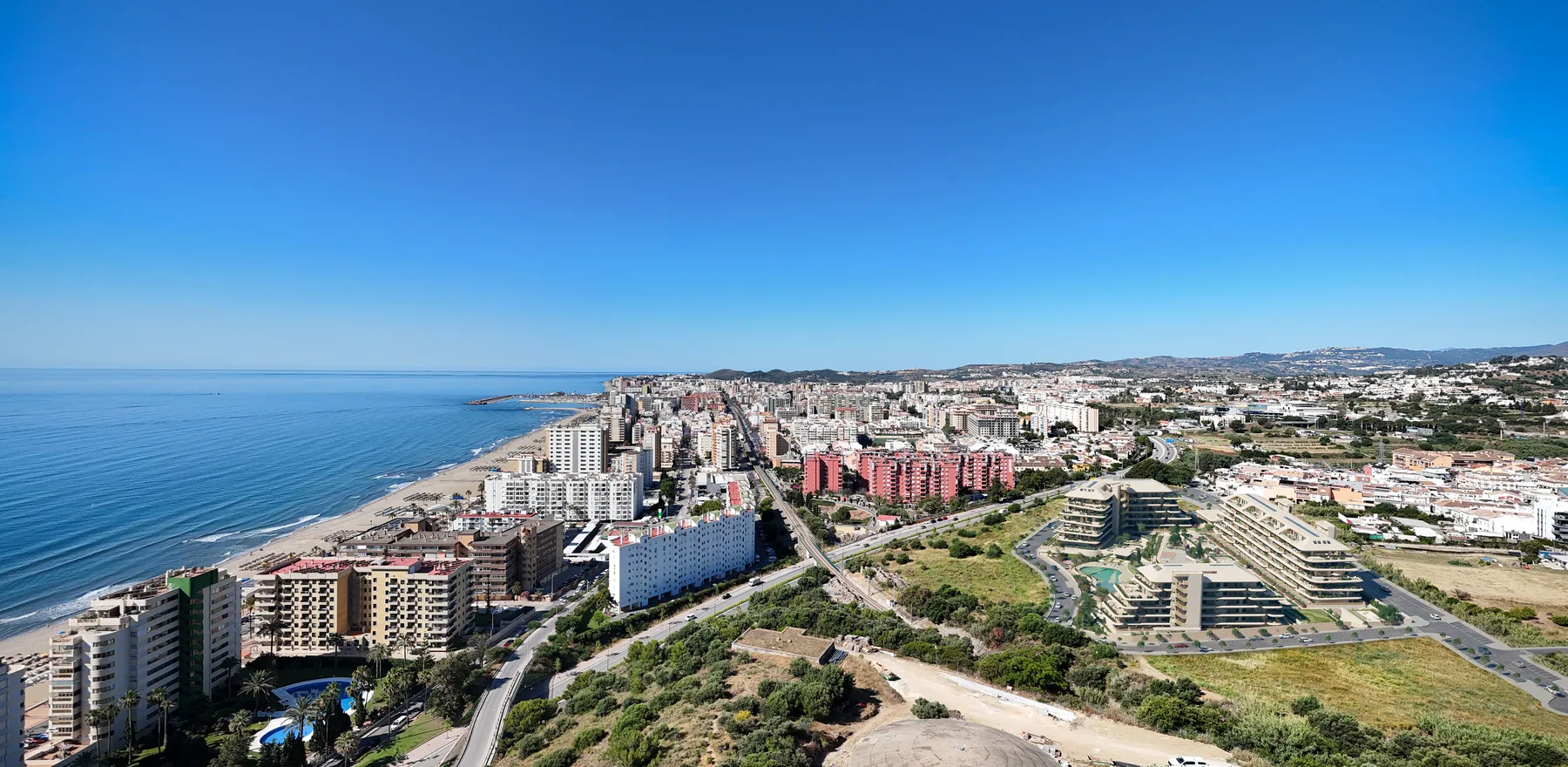
Developer’s visualisation with the NAVEN site at lower right and Fuengirola’s seafront on the left.
The proposed NAVEN residences are at the lower right, with the Los Boliches coastline to the left. Developer’s visualisation. Nuovit Homes / NAVEN · Developer’s visualisation from the NAVEN project material

Starting point · Fuengirola

NAVEN Coastal Essence

Follow the streets of Los Boliches to the beach. It is about 1.2–1.3 km to La Mar Salá.

More about this stop

The pin marks NAVEN. The walking route begins on Calle Los Vecinos and leads to La Mar Salá on the promenade. Allow 15–20 minutes. When you reach the sea, turn left for Carvajal or right for the marina.

Open in Google Maps

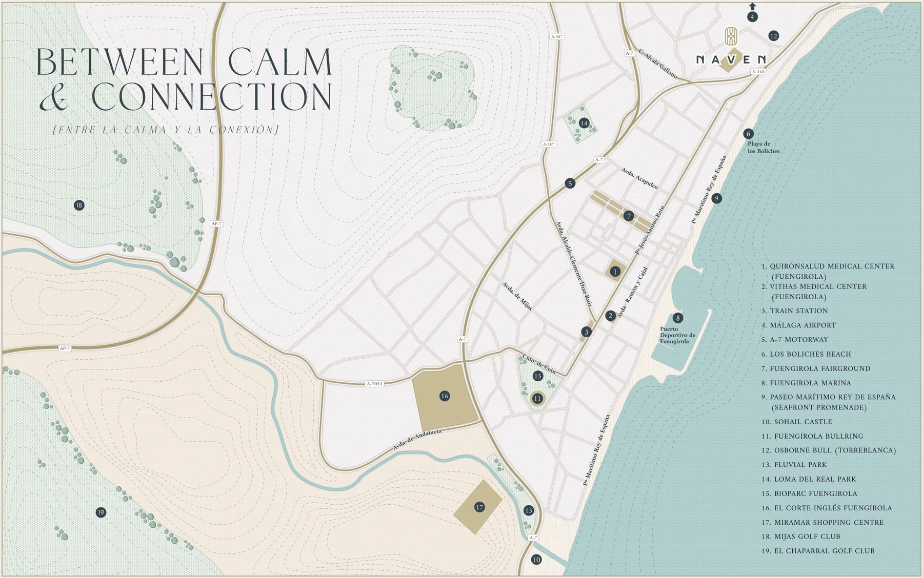
View the developer’s map of Fuengirola

The developer’s illustration places NAVEN, Los Boliches beach, the marina and Sohail Castle in one view. Tap it to enlarge the English legend.

Open the original brochure at page 10 (PDF, 18 MB)

From NAVEN to the beach

Meet us at
La Mar Salá.

From the NAVEN map pin, follow the walking route along Calle Los Vecinos and Avenida de Finlandia. Turn towards the sea on Calle Rondeñas. When you reach the promenade, head for La Mar Salá, the beach restaurant at 95 Paseo Marítimo Rey de España.

This particular walk to La Mar Salá is about 1.2–1.3 km and takes 15–20 minutes. The eight-minute estimate on the NAVEN project page is the developer’s figure for reaching the beach. At La Mar Salá, face the water. Carvajal is to your left, and Fuengirola town centre and the castle are to your right.

Walking directions to La Mar Salá

The promenade guide

14 stops
by the sea

Open a stop for its photo and a local tip. Select “Show on the promenade map” to see where it fits into the walk.

Around Los Boliches beach

A broad stretch of sand separates the promenade from the water. There is room for a morning swim, a day on a sunlounger or lunch at one of the two beach restaurants below.

  1. Los Boliches Beach

    Step off the promenade and there is still plenty of sand before you reach the water. The town puts the average width of the Los Boliches–Las Gaviotas stretch at about 60 metres. Head down for a swim or stay on the paved seafront if you have a pushchair.

  2. La Mar Salá

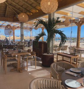
    Both walks begin at number 95. This is a good place to try an espeto de sardinas, sardines threaded onto a skewer and grilled over glowing embers. The menu also includes seafood and rice dishes.

  3. Infinity Beach House

    A few minutes towards Carvajal, at number 101, Infinity has sunloungers by the water and a terrace for Mediterranean dishes or sushi. You can reserve a lounger directly with the beach house.

Left towards Carvajal

Follow the seafront through Torreblanca. From La Mar Salá to The Beach Club Higuerón it is 2.5 km along the shore, about 35 minutes on foot. Start at NAVEN and come via La Mar Salá and the full walk is around 3.8 km, or 50–55 minutes.

  1. Kale Yeah!

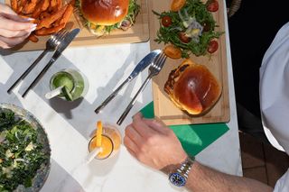
    At number 104, stop for eggs or a fruit bowl in the morning, or try a burger and fresh juice at lunchtime. From the café, follow the same stretch of promenade towards Torreblanca.

  2. Torreblanca breakwater

    The coastline bends at Torreblanca. Look out for the stone breakwater and the view along the next sweep of the bay. For a shorter morning walk, turn back here for breakfast in Los Boliches.

  3. Carvajal Beach

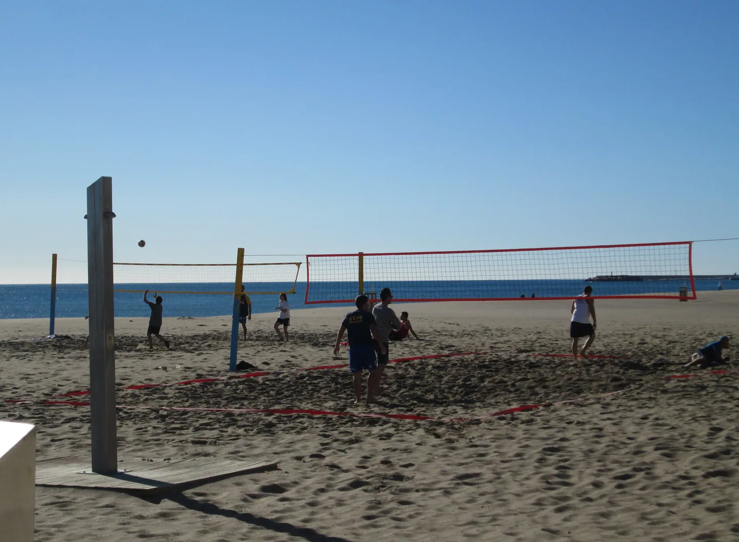
    A long sandy beach runs beside this part of the promenade, with space for paddleboarding, outdoor exercise and play. The town marks an accessible beach entrance at pergola 59, opposite number 144. The map pin takes you to that entrance.

  4. Los Marinos José

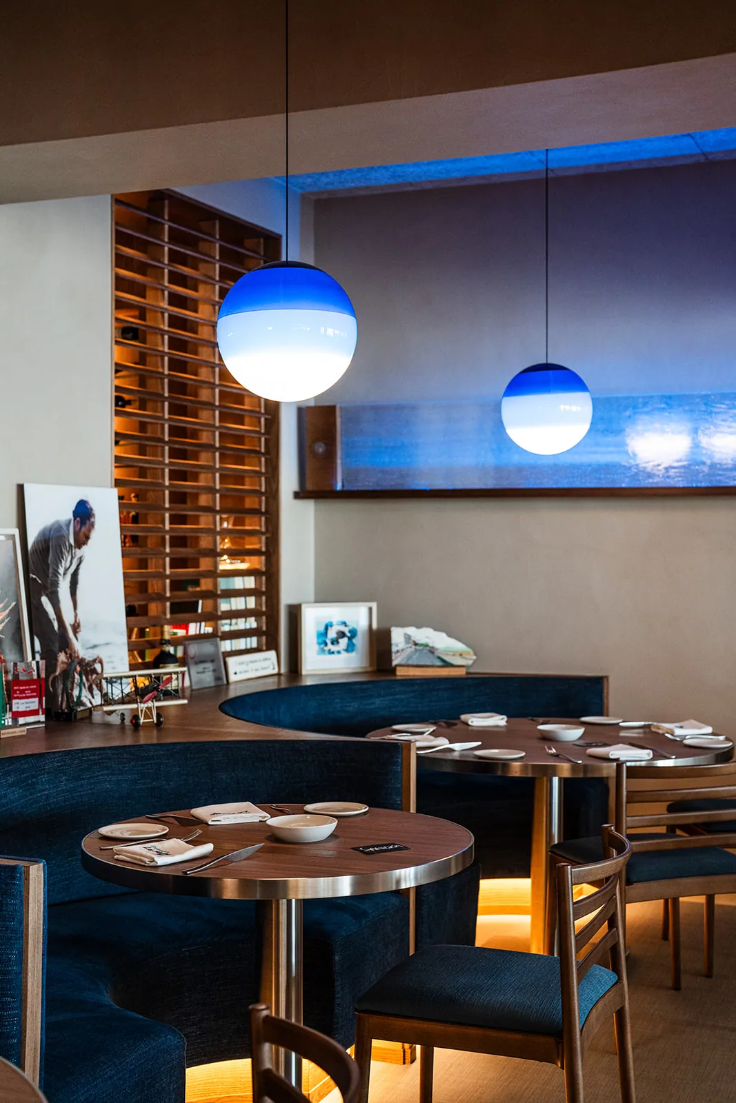
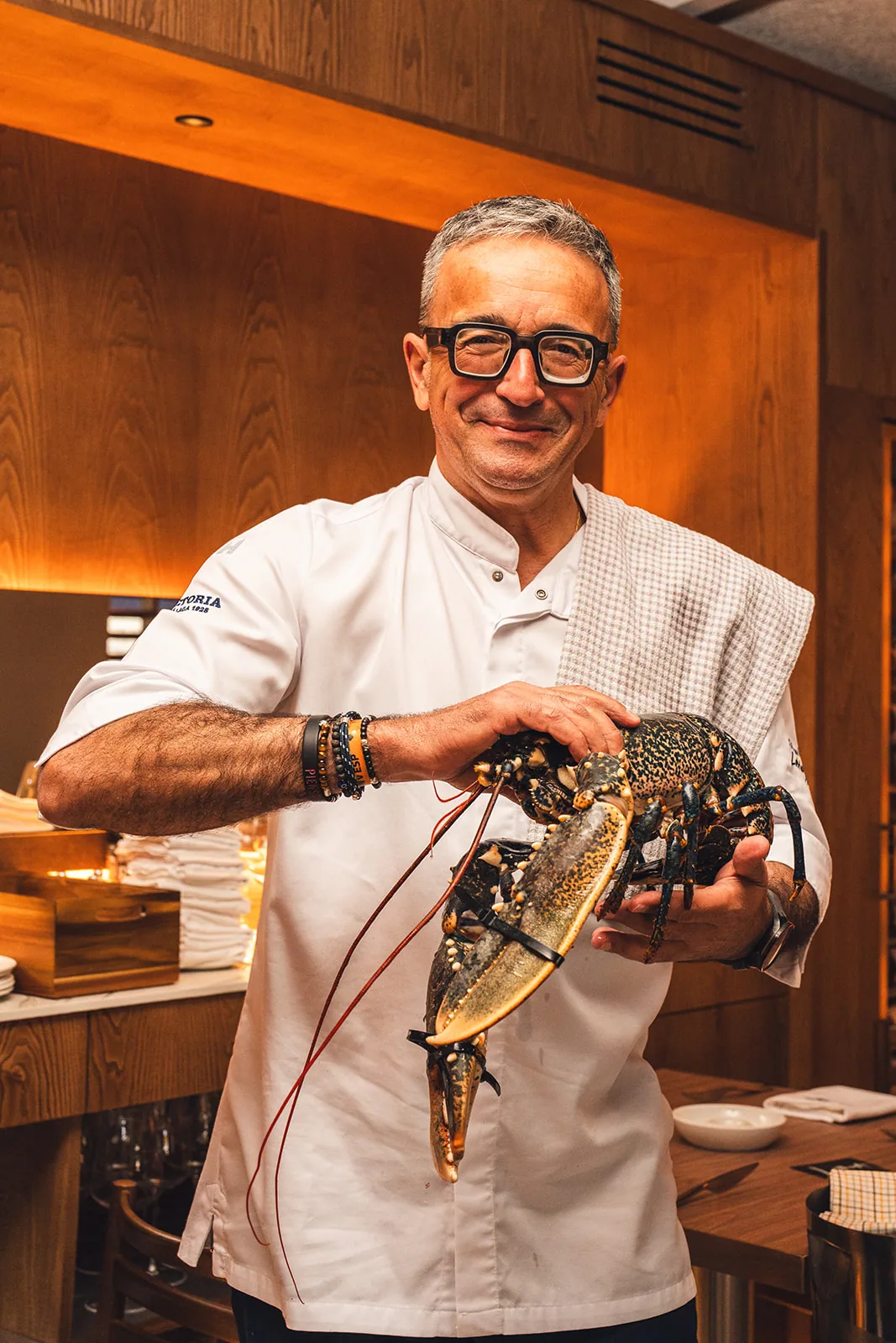
    If you make time for one long lunch on the way, ask what came in that morning. The MICHELIN Guide lists this family-run seafood restaurant opposite Carvajal beach and singles out the small local prawns known as quisquillas.

  5. The Beach Club Higuerón

    Just beyond Los Marinos José, the beach club marks the eastern end of the walk. Its address, 225 Avenida del Sol, is over the municipal boundary in Benalmádena. Finish at a table overlooking the sea or check restaurant and sunlounger bookings with the club.

Right towards the town and castle

Follow the beach to the marina. From La Mar Salá to Plaza de la Constitución via the marina is about 2.8 km, or 35–40 minutes. If you stay on the seafront at the marina, you will reach the footbridge below the castle after 3.9 km from La Mar Salá. Allow 4.4–5 km and 60–70 minutesto reach the castle gate, depending on the final climb. A detour to the town square adds to that coastal route.

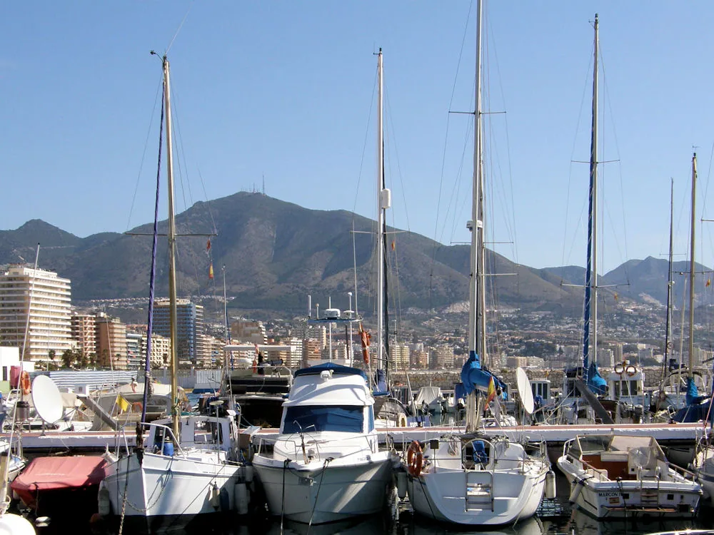
Boats in Fuengirola Marina with the mountains rising behind the waterfront.
Boats in Fuengirola Marina with the Sierra de Mijas beyond the waterfront.
  1. Peseta Monument

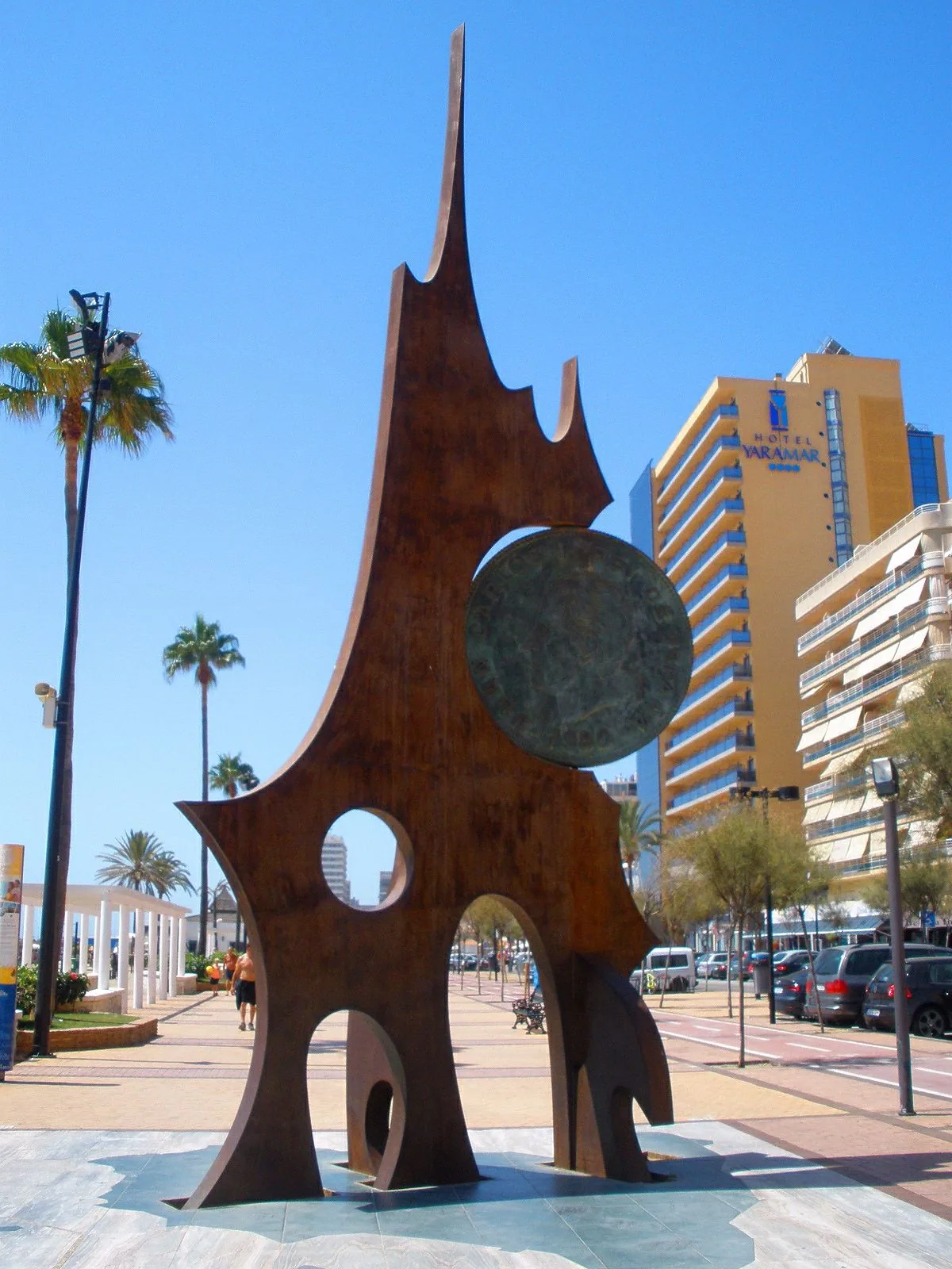
    On Plaza de San Rafael, look for the giant metal peseta. It makes an easy meeting point on a busy seafront. Turn inland here for the streets of Los Boliches or stay beside the sand for the marina.
  2. Sould Park Fuengirola

    About 1.8 km from La Mar Salá, the walking route reaches Sould Park at the marina entrance. Let the children pick their favourite from the photos: the animal carriages on the safari train, the colourful Jumpin’ Star tower or the inflatable jungle slide. Check opening hours and ride restrictions with the park before your visit.

  3. Fuengirola Marina

    The sand gives way to pontoons, boats and waterside terraces. Stop for a drink or browse the boat trips. Turn inland here for the town square, or keep the sea beside you to continue towards the castle.

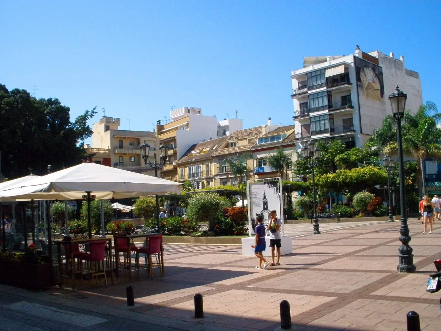
  4. Plaza de la Constitución

    Leave the waterfront for the white church of Nuestra Señora del Rosario and the old fig tree opposite. Plaza de los Chinorros, a few streets away, is a favourite stop for tapas. Finish here or return to the sea to continue towards the castle.

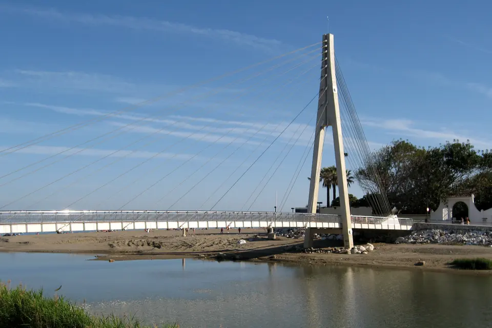
  5. Río Fuengirola footbridge

    Walk along Santa Amalia beach to the point where the river meets the sea. From the Puente de la Armada Española you can see the castle ahead and the coast you have walked behind you. This is a good place to finish the mostly level part of the route.

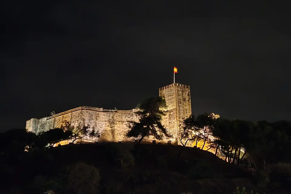
  6. Sohail Castle

    Beyond the bridge, the path climbs to the Moorish fortress, about 38 metres above sea level. Look back over the river mouth and the coast. The shorter ascent uses steps. Check the city’s events and access information if you want to go inside.

Planning your walk

Getting back
and making stops

Return from Carvajal by train

Carvajal station is about 450 metres uphill from the beach club. Take a C1 train towards Fuengirola for Torreblanca and then Los Boliches. If you finish in the town square instead, Fuengirola station is the closest.

Walking with a pushchair or limited mobility

For a paved surface, stay on the promenade. Carvajal beach has an adapted entrance at pergola 59. In the other direction, the footbridge below the castle makes a good destination. Beyond it the path climbs and the shorter approach has steps.

Stopping for lunch or a swim

Allow extra time for the stops you choose. If you have your heart set on lunch at Los Marinos José or an afternoon on a beach-club lounger, use the venue link at that stop to check availability for your date.

Visit Fuengirola

Walk with us from NAVEN to the sea.

When you visit NAVEN, we can walk down to the beach together. You can try the route at your own pace and see where you would stop for coffee, a swim or dinner in Los Boliches.

Route sources and photo credits

Walking distances follow public paths mapped by © OpenStreetMap contributors. The seafront starting point is number 95 on the promenade. Times vary with your pace and chosen route. Each stop links to its venue or the local visitor guide.

Photographs on the interactive map

The venue photos link to their publishers. Photographs hosted by this guide are resized for different screens. The licences above apply to the credited photographs.

Promenade photograph

Full size